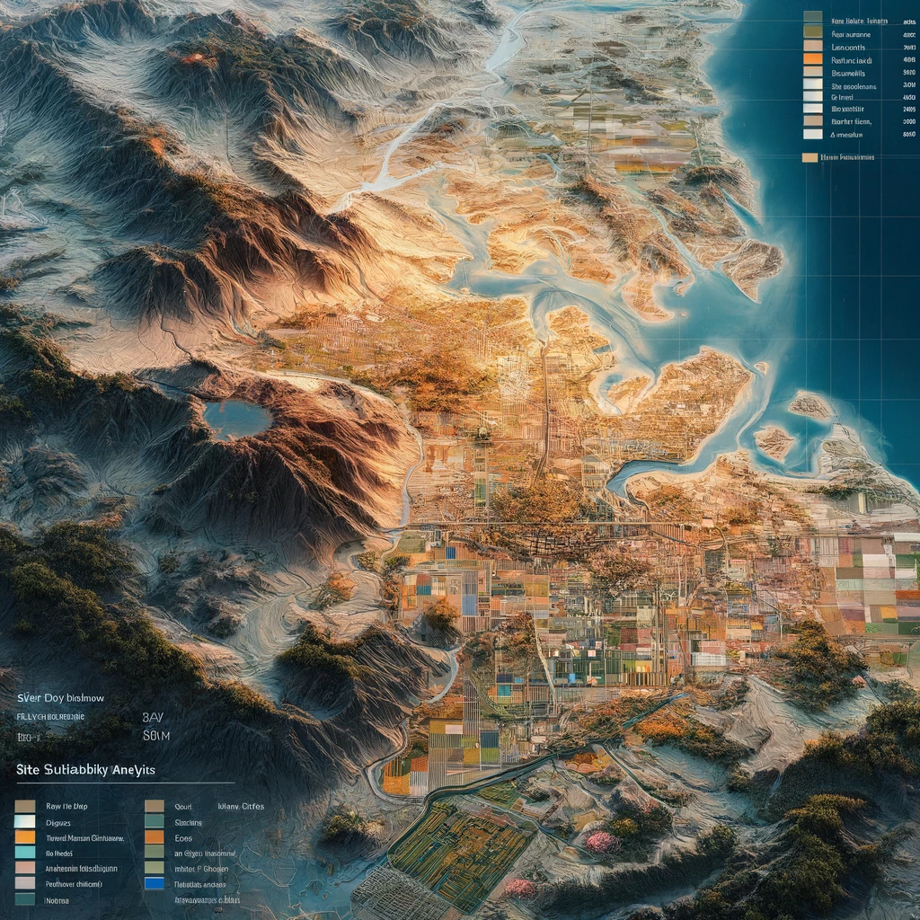
India’s Dabhol-Bangalore pipeline stands out as a formidable project executed by GAIL, navigating through the rugged expanse of the Western Ghats. This intricate pipeline project encompasses laying pipelines across challenging terrain, including mountainous landscapes, rocky areas, swamps, and dense forests with steep slopes ranging from 35 to 60 degrees. Notably, it incorporates eight Horizontal Directional Drilling crossings, featuring one of Asia’s longest HDD of 1.6km, piercing through solid rock formations beneath the Ghatprabha river.
Serving as a critical artery, this pipeline is indispensable for Karnataka, serving its gas and power needs. However, amidst these formidable landscapes and diverse elevation profiles, ensuring precise pressure and flow estimates becomes imperative for the operating company to meet the requirements of off-takers.

The Explorer Platform, powered by ESRI, provides spatial intelligence and an integrated elevation visualization widget, aiding pipeline developers and EPCs in laying pipelines. It assists in planning Right of Way (RoW), identifying and mitigating geographical challenges, and making informed estimations on pressure and flow rate relationships.
Start EXPLORING!