Case overview
A renewable energy company was seeking to broaden its array of wind and solar projects and recognized the importance of precisely identifying the best locations. Key factors in this decision included wind speed, solar irradiance, availability of land, environmental implications, and proximity to transmission infrastructure.
The company encountered a major hurdle as its traditional methods for site selection were not only slow but also lacked the necessary accuracy for making the best decisions. This prompted the need for a more effective approach that could swiftly and accurately evaluate numerous sites across extensive geographic areas. Implementing site selection with WebGIS became the solution, allowing for a comprehensive analysis of environmental and technical factors to streamline and enhance the site selection process.


The Brief
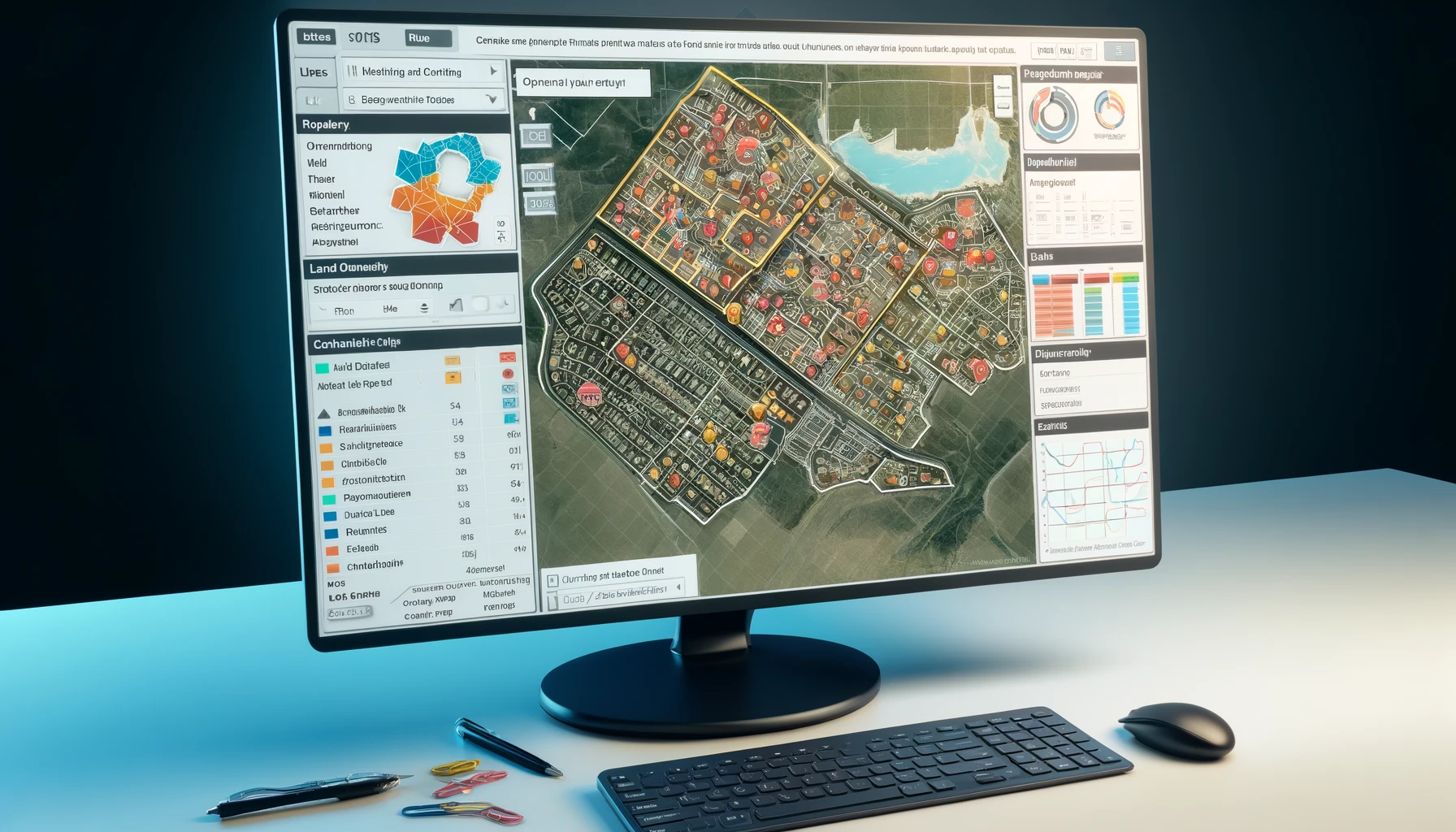
The company successfully implemented a sophisticated WebGIS system specifically tailored to enhance the site selection process for its wind and solar energy projects. This state-of-the-art system was designed to consolidate multiple crucial data layers, including geographic, environmental, and infrastructural information, to facilitate a more efficient and precise site selection with WebGIS.
By integrating these data layers—such as topography, solar irradiance levels, wind patterns, land use, proximity to existing power grids, and environmental sensitivity areas—the WebGIS system enabled the company to systematically evaluate potential sites. This method allowed for the identification of locations that not only possessed the highest potential for energy production but also met all necessary regulatory requirements. For example, the system could prioritize areas with high solar exposure and suitable wind speeds while avoiding regions with protected ecosystems or insufficient infrastructure.
Moreover, the use of WebGIS technology significantly streamlined the evaluation process. Traditional methods that were manual, time-consuming, and prone to errors were replaced by this automated and highly accurate system. This efficiency gain not only sped up the site selection process but also reduced the costs associated with site surveys and feasibility studies.
The environmental impact was also a critical consideration. The WebGIS system helped ensure that site selections were compliant with environmental regulations, aiming to minimize ecological disruptions. This was achieved by integrating environmental impact assessments directly into the site selection process, thereby identifying and mitigating potential ecological issues early in the planning stage.
In summary, the deployment of the WebGIS system marked a transformative step for the company, aligning operational efficiency with sustainability goals. It ensured that the sites chosen for new wind and solar projects were optimal not just in terms of energy production but also in environmental compatibility, thereby supporting the company’s commitment to responsible and sustainable energy development.

Our Approach
The WebGIS system was pivotal in optimizing site selection for both wind and solar energy projects. For wind projects, the system incorporated high-resolution wind speed data at various altitudes, which was essential for identifying areas with the highest potential for energy production. This feature streamlined the decision-making process, enhancing site selection with WebGIS by pinpointing locations with the most promising wind resources.
Solar projects also benefited significantly from the use of solar irradiance maps within the WebGIS system. These maps delivered detailed insights into sunlight exposure across different regions, facilitating the selection of sites with optimal solar energy generation conditions. This integration was key to optimizing site selection with WebGIS for solar projects.
A crucial component of the system was its ability to overlay current land use data, which was instrumental in identifying available and appropriate land for development. This functionality ensured compliance with zoning restrictions and protected areas, thereby making sure that the selected sites were viable and adhered to local land use policies.
Moreover, the WebGIS system was enhanced with comprehensive data on wildlife habitats, protected lands, and other environmental sensitivities. This inclusion played a critical role in aligning project development with environmental regulations, with a focus on preserving biodiversity and minimizing impacts on natural habitats.
Lastly, the system’s integration of data on existing transmission infrastructure significantly advanced the process of site selection. By identifying sites in proximity to transmission lines, the WebGIS system facilitated easier access to the power grid. This not only reduced the cost and complexity of connecting new projects to the grid but also increased the overall feasibility of project development.


The Results
The deployment of the WebGIS system was a pivotal advancement in the company’s strategy for developing renewable energy projects, particularly enhancing site selection with WebGIS. Utilizing detailed data layers and sophisticated mapping technologies, the company successfully optimized the placement of projects through informed decision-making. This strategic use of WebGIS for site selection not only streamlined the process but also significantly contributed to the company’s efforts towards a sustainable energy future.


