Singapore, December 21, 2021 – Genesis Ray Energy (“Genesis Ray”), the Singapore-based clean energy research company providing innovative data analytics products on renewable energy and location intelligence, has launched its new offering, GenRay Data Services.
GenRay Data Services targets analysts looking for in-depth data to identify, assess and appraise sites for renewable energy projects. Promising a 24-hour turnaround time, GenRay Data Services offers quick data on energy infrastructure including wind and solar projects, thermal, nuclear, and hydropower plants, transmission lines and towers, nearby substations, under-construction assets, and more, geophysical profile, land use, land cover as well as historical wind and solar resource profile for any Area of Interest (AoI).
To mark the launch of the new GenRay Data Services, Genesis Ray is offering complimentary data requests until end-January 2022. To learn more and benefit from this, those interested can visit our website and sign up for the offer by filling a simple form.
“We are delighted to offer high-quality data in bite-size for the renewable energy industry, thus making it accessible to everyone in the industry. We understand the struggles to quickly get project-specific data without having to invest in a large subscription fee for our more premium tools. The turnaround within 24-hour is also another great factor for businesses to consider taking up this new service offered by us,” says Irfan Choudhry, CEO, Genesis Ray Energy.
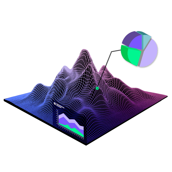
GenRay Data Services is powered by Genesis Ray’s flagship tool, GenRay EXPLORERTM, which captures the entire spectrum of energy assets and infrastructure including wind and solar projects, transmission lines, substations as well as gas pipelines across South Asia and Southeast Asia. The company has been continuously adding more layers of information and better ways of viewing and analyzing data. With Site Suitability Data Layers added in the second half of 2021, GenRay EXPLORERTM now offers an unmatched capability to renewable energy developers to perform an extensive virtual site survey without the need of a physical visit.
With the largest collection of spatial and industry data for South Asia and Southeast Asia, Genesis Ray Energy has emerged as one of the pioneers in providing spatial visualization and data analytics services in the clean and renewable energy industries. The new offering, GenRay Data Services, which is more area-specific than region-specific, will be a boon to renewable energy analysts and players looking to acquire authentic and validated data in less than 24 hours.
For more information, visit: www.genesisray.com/data-services
MEDIA CONTACTS
Rahimah A Rahim
Director
Genesis Ray Energy
M: +65 8809 4506
E: [email protected]