India’s Dabhol-Bangalore pipeline distinguishes itself as one of the most challenging pipeline projects to have been implemented by GAIL. The pipeline traverses through the tough terrain of the Western Ghats, which consists of mountainous, rocky, swampy stretches and dense forests with slopes ranging from 35-60 degrees. The pipeline consists of eight Horizontal Directional Drilling crossings, with one of the longest HDD in Asia of 1.6km across Ghatprabha river drilled through hard rocks.
This pipeline acts as a lifeline to the southern state of Karnataka being the only fully operational pipeline catering to the natural gas and power requirements. However, passing through these tough terrains and varying elevation profiles, there lies a significant risk for the operating company to have precise pressure and flow estimations, so that the off-taker requirements can be fulfilled.

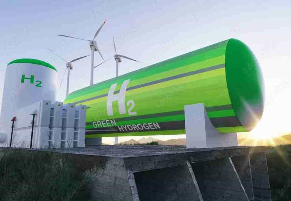
GenRay EXPLORER™, powered by ESRI, offers spatial intelligence and inbuilt elevation visualization widget that helps pipeline developers and EPCs in planning Right of Way (RoW). It does not only help them identify and mitigate geographical challenges but also prepare them to make more informed estimations regarding pressure and flow rate relationships.
Start EXPLORING!