Case overview
As a leading renewable energy developer, our client sought to integrate GIS and climate modeling capabilities to precisely identify wind turbines for repowering in Germany.
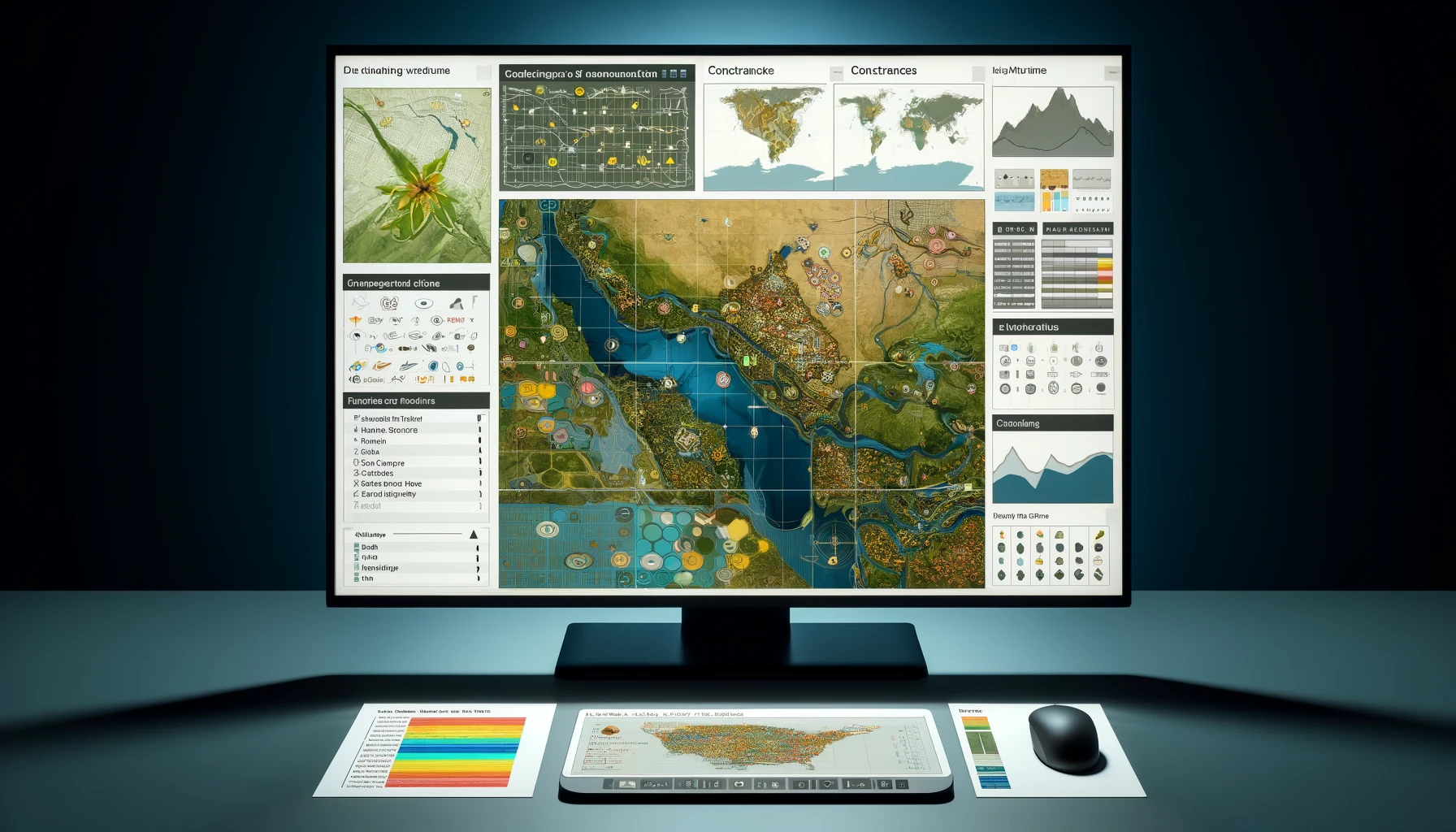
Genesis Ray meticulously gathered data on renewable energy infrastructure nationwide, expertly mapping assets within a customized GIS application. This solution seamlessly integrated project-specific details such as technical specifications, ownership, OEM information, and precise location data for individual wind assets, including their connectivity to substations and the grid. Our GIS interface presented this comprehensive data through user-friendly widgets and features, enabling detailed analyses.
In collaboration with our climate modeling experts, we mapped wind speeds across Germany, providing Typical Meteorological Year profiles at P10, P50, and P90, leveraging data from ERA5 and DWD. Additionally, our app incorporated site-specific attributes such as contour lines, slope, flood risk, soil bearing capacity, and land cover, alongside exclusion zones like military areas, airports, protected zones, and residential areas.
Moreover, we developed Environmental Impact Layers, specifically Bird Sensitivity Mapping, identifying critically endangered bird species based on collision data from wind turbines in Germany. This holistic approach ensures informed decision-making and efficient strategies for repowering wind turbines.


The Brief
Genesis Ray successfully empowered a leading renewable energy developer to identify wind turbines for repowering in Germany. By leveraging advanced GIS and climate modeling capabilities, we created a comprehensive database of the nation’s renewable energy assets within a bespoke GIS application. This database was enriched with detailed specifications, ownership, OEM details, and precise geographic locations, including grid connectivity.
Our solution featured intuitive analysis tools and climate modeling to accurately map wind speeds and generate Typical Meteorological Year profiles, incorporating critical site-specific and environmental considerations. This included the integration of innovative Bird Sensitivity Mapping to minimize the impact on endangered species. This robust toolset facilitated informed and efficient decision-making for wind turbines for repowering strategies, showcasing our commitment to blending technology with environmental stewardship.

Our Approach
Data Compilation: Genesis Ray undertook an extensive data collection effort, focusing on the renewable energy infrastructure across Germany. We developed a custom GIS application to map renewable energy assets, incorporating detailed project-specific data such as technical specifications, ownership, Original Equipment Manufacturer (OEM) information, and the precise locations of wind assets, including substations and grid connections.
GIS Application Development: The customized GIS platform featured intuitive widgets and tools for easy access and analysis of the compiled data, enabling stakeholders to conduct thorough evaluations of potential repowering sites.
Climate Modeling Collaboration: Our team, in partnership with climate modeling specialists, executed a detailed mapping of wind speeds throughout Germany. We provided Typical Meteorological Year (TMY) profiles at different probability levels (P10, P50, P90) using data from ERA5 and DWD. The application also integrated site-specific factors such as topography, flood risks, soil capacity, and land usage, in addition to identifying exclusion areas like military bases, airports, protected lands, and residential zones.
Environmental Impact Analysis: A key feature of our solution was the Environment Impact Layers, which included Bird Sensitivity Mapping. This component identified areas with critically endangered bird species that are at risk of colliding with wind turbines, utilizing collision data to inform safer repowering strategies.


The Results
This comprehensive strategy provided our client with an effective tool for making informed, data-driven decisions about wind turbines for repowering in Germany. It integrates efficiency and environmental sensitivity, ensuring an optimal approach to upgrading wind turbines for enhanced performance.
